
Crows Nest Civic Centre & Residences
Urban Architecture Research Studio (MArch)
The site is situated on Sydney’s soon to be completed metro line forming a belt of education, health and business precincts, coined the Sydney Global Economic Corridor. Crows Nest’s newly found interconnection will undoubtedly impact its development into the future.
Geopolitically, the site is at the intersection of three of Sydney’s councils. In light of recent movement toward the centralisation of local government, the project takes up the hypothetical scenario of the amalgamation of North Sydney, Willoughby and Lane Cove councils. The site is geographically central within its new jurisdiction. As well as having symbolic quality as a result of its geographic position, the site’s new interconnection within the greater health, economic and education belt will be beneficial for a programme of civic character. Thus this site is a geographically and logistically ideal location for a new civic centre and local administration programme.
This urban intervention aims to resolve the tension in the fragmented urban fabric as well as the discordant architectural context. The diverse architectural and urban character of Crows Nest is accentuated and improved by been woven into a single uniting urban fabric. The dialogue between fragment and whole is explored through all scales within the project, from the masterplan to the architectural detailing.

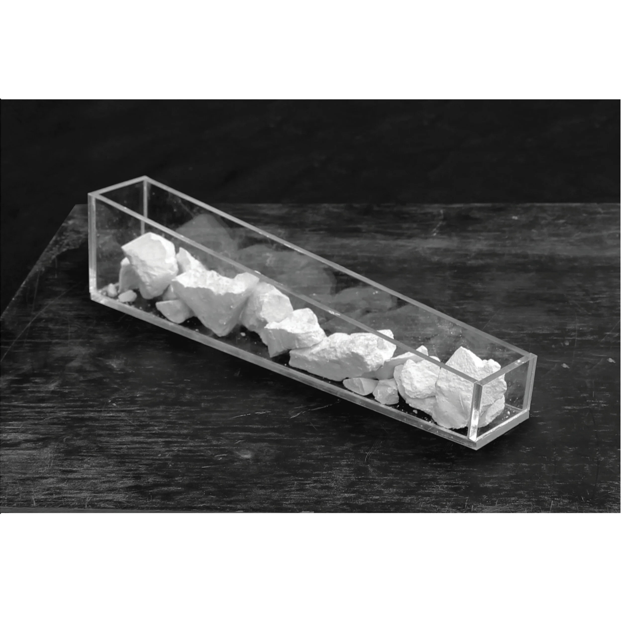
FRAGMENTED CONDITION // As a result of early subdivision and geographical characteristics, the site has found itself at the collision point of 3 grids, forming “offcut” urban geometry. The resulting urban fabric gives form to a prominent form of architecture, particularly along the ridge line of Pacific Highway. The environment is fragmented at a level of the urban grid structure as well as on the scale of buildings and details.

COMPLETING THE PERIMETER // The massing envelope completes the geometry created by the collision of the three grids. The urban form the mass also negotiates height differences, from the lower height of Willoughby House to the south to the taller height of St Leonards to the north. The triangle is the urban feature like the geological feature of a headland.

CONNECTION TO THE URBAN FABRIC // Similarly, to the ocean’s vast emptiness the public open space flows around the fragments of Crows Nest, connecting them within a single urban fabric.

ERODING FOR AMENITY // Over time the headland is eroded by the sun, the rain and the ocean, creating caves and caverns. Like the headland the architectural massing is cut due to the consideration of solar access, cross ventilation as well as aspect into and out of the building.


Metro Platform Plan

Metro Concourse Plan

Ground Floor Plan: Public Domain, Metro Entry Points, Commercial Tenancies

Level 2 Plan: Library, Council Chambers & Apartments

Level 4 Plan: Council Offices & Apartments


